Photo: Bittegitte/Flickr
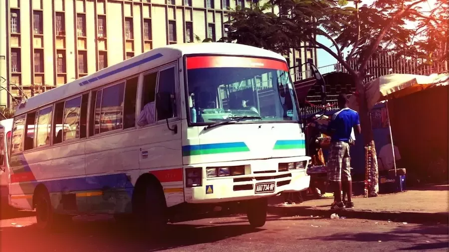
Maputo, Mozambique’s bustling capital, has the potential to become one of the most innovative urban centers in Africa, especially when it comes to mobility. The city was one of the first on the continent to map the network of formal and informal public transport routes, thanks to the Chapas Project which started in 2013.
Today, the government of Mozambique has doubled down on its efforts to improve urban mobility by creating the Maputo Metropolitan Transport Agency (AMT), which will be responsible for coordinating public transport services more consistently across the entire metropolitan area. The government also implemented innovative schemes, such as the creation of cooperatives to better manage bus operations. The metropolitan area also recently digitalized part of the fare payment system. Now, when entering or exiting a bus, commuters are able to pay for their trips using a smartcard that is linked to an account held in the fare system’s back-office.
Building on this unique foundation, the government is currently working on the Maputo Metropolitan Area Urban Mobility (MMAUM) Project, whose ambition is to take public transport in the city to the next level. From the digitalization of bus operations to the introduction of a modern passenger information system, the World Bank-funded project includes several innovative features, with a strong focus on disruptive digital technologies and climate resilience.
In this post, we will take a closer look at the digital innovations implemented under the MMAUM project.
A challenge: Understanding urban mobility patterns
Investing in mass transit and non-motorized transport in cities can greatly improve access to jobs and social services, especially for the most vulnerable. To make this happen, the first step is to understand how people move and identify any disparities in mobility and accessibility.
In Maputo, the last comprehensive mobility study was conducted 10 years ago. Since that time, the metropolitan area’s population has nearly doubled. To make the most of the new urban mobility program, the government realized it needed current data to inform project preparation.
Previously, mobility patterns were identified using traditional field-based methods that required significant time and effort to collect data on the ground. This time around, the project team faced various resource challenges and time constraints, which begged the following question: How can we – quickly and at a low cost –understand Maputo’s current mobility patterns in a context of rapid urbanization? Innovative technologies played a key role in addressing this question and supporting the planning of the project, thanks to strong collaboration with top-notch researchers from the University of Tokyo, Purdue University, and the World Bank-hosted Development Data Partnership.
Leveraging big data to disrupt urban transport planning
The city’s high level of cell phone penetration represented a great opportunity to rethink urban transport planning in Maputo. Specifically, we were able to get a much clearer picture of mobility patterns in the city by collecting and analyzing big data from two main mobile device-based channels: (i) Call Detailed Records (CDR), and (ii) GPS location data.
These anonymized datasets, which complied with all data privacy requirements, provided unique opportunities to understand mobility at very granular levels, both temporally and spatially. For instance, by combining this mobility data with socioeconomic data (i.e. poverty data from geospatial planning), we were able to understand how the lower-income residents of certain areas move, and draw comparisons with other income groups within the same zones and between different parts of the city. But not only that! Using GPS location data also allowed us to estimate, for each phone user, the actual mode of transport used (walking, public transport, private vehicle) and estimate destination (such as hospitals, schools or markets). This information was powerful to analyze the actual disparities of mobility to important social services along the city and in the access to modes of transport, which is critical information to define interventions for a more inclusive city.
We also used these datasets to understand how mobility patterns change during important periods of rain. By combining mobile phone data with data collected on the ground, we were able to determine priority interventions for overcoming climate disruptions. But let us not get ahead of ourselves -we will share the full climate story in the following post!
Ultimately, the innovative use of these datasets played an important role in the design of Maputo’s urban mobility project, which will support the development of the first Bus Rapid Transit (BRT) in Mozambique, along with improvements in non-motorized and motorized transport.
What’s next for Maputo?
Maputo’s digital revolution has just started! The project will also support an ambitious plan to digitalize the transport sector, including digitalization of bus operations, payment transactions, and passenger information systems. This will help public transport authorities with planning investments and operations that are more efficient and respond to the needs of this dynamic, fast-growing metropolis.
This work was funded by the Quality Infrastructure Investment (QII) Partnership.